
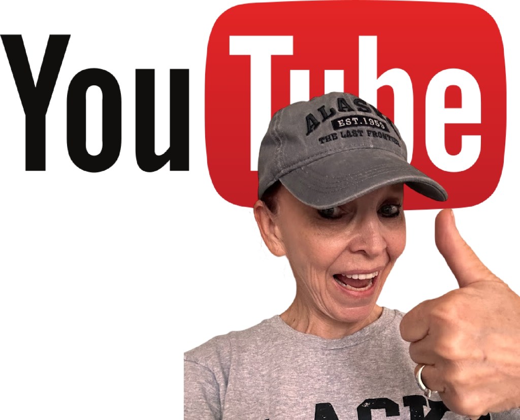
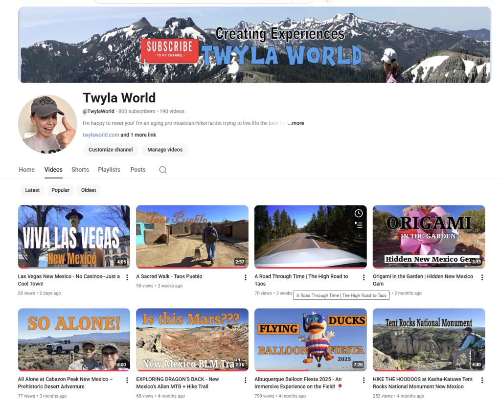
Today I Hit 800 Subscribers
(After Launching My Channel in 2006) Twenty freakin’ years!
Not 8000, Not 80,000,
Eight hundred. Yeah, you read that right! 800 and teetering…
Fun Fact: Only 10 % of YouTube Channels reach 1000 subscribers. I’m in good company with the other 90%.
My very first video 20 years ago was a grainy, low-resolution clip of my sister shadow dancing at Burning Man. (since removed) I edited it in Windows Movie Maker. Digital cameras were still evolving, and the videos were Blurry. Tiny. Imperfect.
But that didn’t stop me. I continued to film and upload.
Back then, nobody really knew what YouTube was supposed to be. It was the Wild West. People posted funny skits, awkward home movies, random moments of life. No strategy. No branding. No algorithms to decode. Just curiosity and creativity.
Then came the how-to videos. Those were gold!
I remodeled parts of my house using YouTube tutorials. Total strangers taught me things I might never have learned otherwise. That was the magic — people sharing what they knew.
When I started uploading my trick riding videos, I picked up a couple hundred subscribers fairly quickly. For a minute, it felt like momentum.
Then YouTube introduced ad revenue.
I made pennies….literal pennies.
And then they changed the rules — you needed 1,000 subscribers and thousands of watch hours to qualify for monetization. That’s when my growth slowed to a crawl.
I didn’t have a niche.
I didn’t have a strategy.
I just wanted to share my crazy life in an artful way.
I’m a musician.
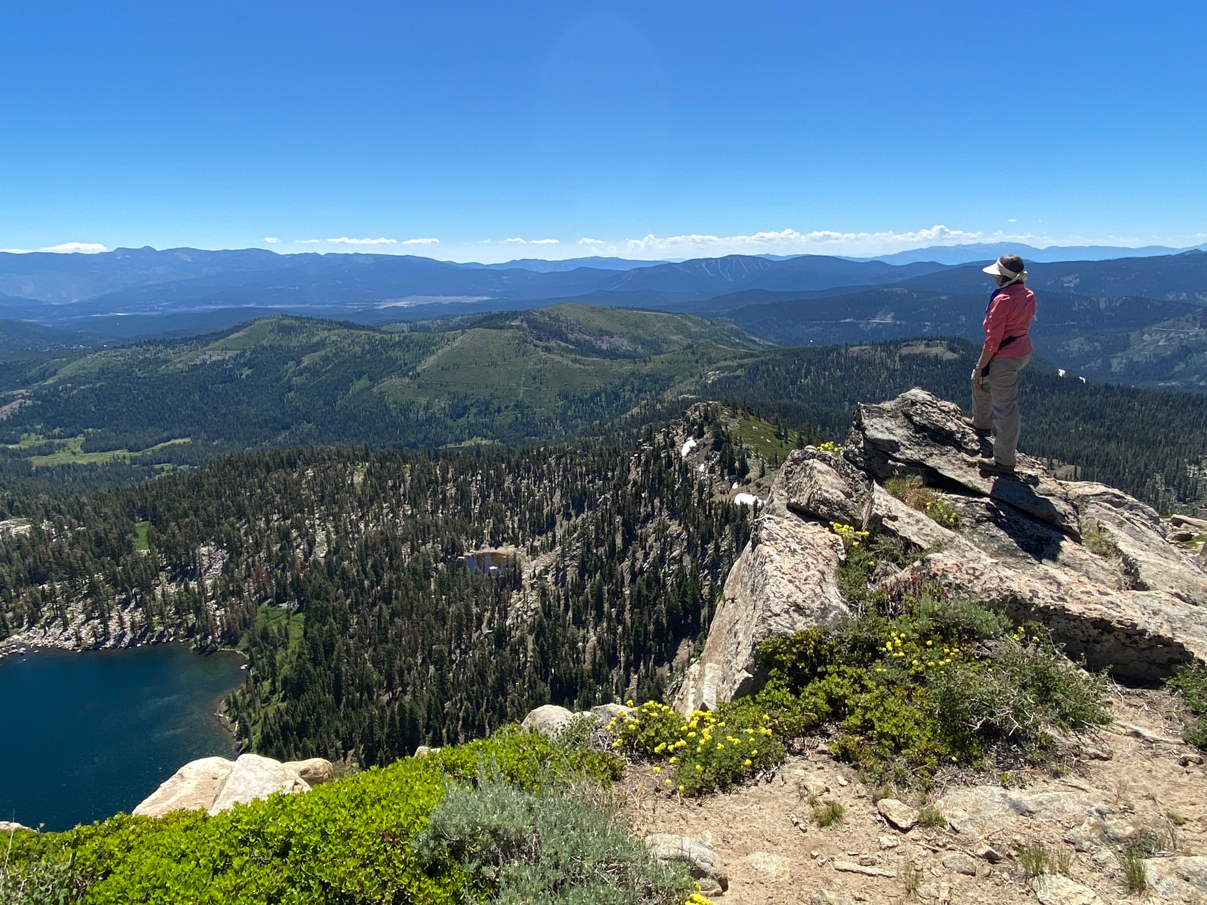
A hiker.
A traveler.
A ranch owner.
An artist.
A complete jackie-of-all-trades.
Over time, my equipment improved. My editing improved. I spent hours polishing videos into little documentaries of my adventures.
And sometimes they were full-blown documentaries.
I once flew to Kansas to stay with a family living in the middle of wheat fields as far as the eye could see. I filmed their simple life as farmers and the one-room schoolhouses they were restoring. I submitted that film to festivals.
Some of my videos have over 100,000 views.
Others have 25.
My subscriber count? It creeps.
I gain a few.
I lose a few.
I gain a couple more.
It inches forward.
It’s always teetering!
One day I’ll hit 1,000 subscribers. Or maybe I won’t.
But here’s what I’ve realized: That number isn’t the point.
The point is that I’ve documented my life.
When I go back and watch videos from ten or fifteen years ago, I smile. I remember who I was. What I cared about. What my voice sounded like. The light in my eyes. The people who were still here.
YouTube became my time capsule.
If I ever get dementia, I hope someone sits me down and presses play.
“Look,” they’ll say.
“This was you.”
And I’ll get to meet myself all over again.
800 subscribers – still filming.
Go take a look and don’t forget to SUBSCRIBE! I want to get to 801!


You must be logged in to post a comment.